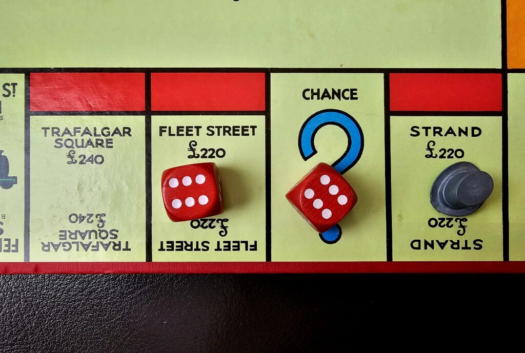
BACKGROUND
My Project Monopoly Series continues over the summer, making consistent progress despite some house renovation work taking place. So far I have covered the first two sides of the Monopoly board:
| No 0 – Introduction | No 3 – King’s Cross Station | No 6 – Pentonville Road |
| No 1 – Old Kent Road | No 4 – The Angel Islington | No 7 – Three Purples + Marylebone Station |
| No 2 – Whitechapel Road | No 5 – Euston Road | No 8 – The Three Oranges |
Each post will follow the same format.
MONOPOLY PROPERTY NUMBER 12: STRAND
(Details of books and maps at the end of the post)
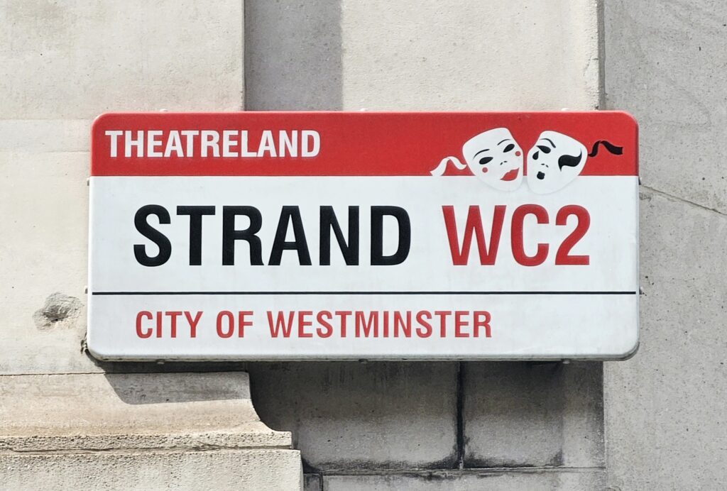
Just one word: Strand. No definite article and nothing to indicate if it is a lane, street, road or avenue. A bit of history from No Free Parking:
The one street that can claim to be the start of the continuous history of London as a trading entrepôt is in neither the City of London nor Westminster. It is the street that links them: the Strand. The clue to its history, and physically why London’s story restarted here, lies in the name. For ‘strand’ is an Anglo-Saxon word which means shore or beach (as it still does in German). And it was on this northern Thames shore, sloping steeply upwards to safe, dry land from the Thames, that Anglo-Saxon traders or settlers pulled up their boats.
They could not do it to the south, for the land was low-lying and marshy, and they could not do it to the immediate east, into the old Roman city, for the wharfs had been blocked by a late Roman river-facing wall, now collapsing lumpishly into the river. Even if they could, old Roman waterfronts did not suit shallow Saxon vessels. But their ships could travel right up to this shore, below the old Roman road, on an incoming tide. So this is what they did and it was where London was reborn.
When referring to Strand in writing, most people add a definite article (the) and this is what I will do in this post.
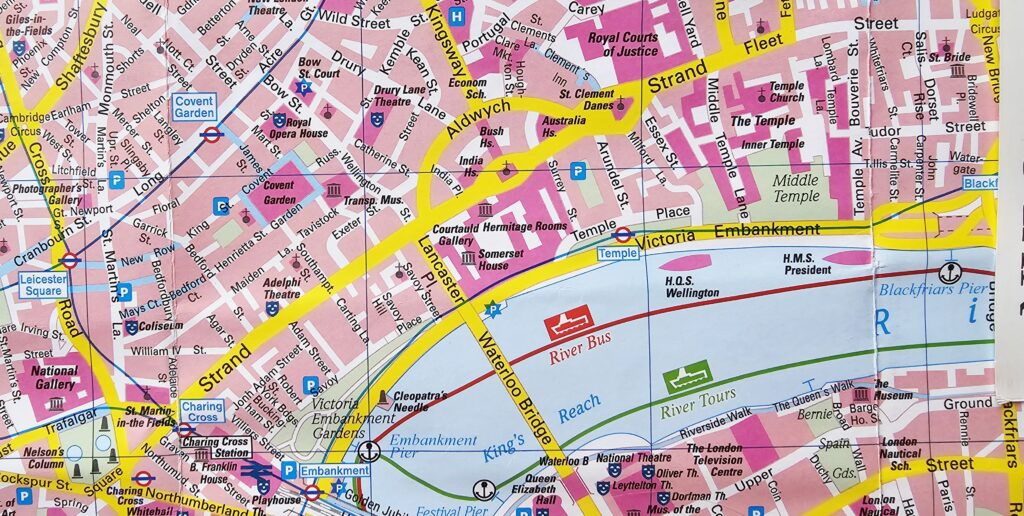
On the map below we can see that Monopoly property no 12, Strand, is in the middle. Fleet Street (property number 13) lies to the east and Trafalgar Square (property number 14) is to the west. I am following the order as laid out on the board when visiting the red properties.
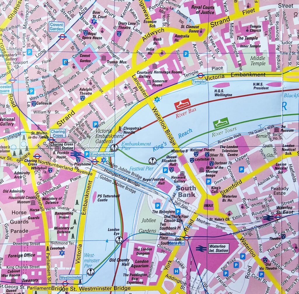
The river no longer runs up to the Strand. The riverbank was pushed back between 1865 and 1870 during the construction of the Victoria Embankment (to embank means to build a wall or a mound of soil and stone to stop water from coming inland). This was a massive public project led by civil engineer Sir Joseph Bazalgette to reclaim land from the river, primarily to provide London with a modern sewerage system. A low-level interceptor sewer was built directly below the embankment to stop raw sewage from flowing into the River Thames.
One for the engineers and public health enthusiasts: here is a really interesting article on interceptor sewers.
HOW TO GET HERE
For transport options, Citymapper is invaluable as a tool to get from A to B. I made several visits and always started from Charing Cross tube station, making my way along the length of the Strand eastwards either on foot or by bus. It is a relatively tidy but very busy street. Nothing has changed. One of the reasons for building the Victoria Embankment was to relieve traffic congestion on the Strand and Fleet Street.
Thinking about this, going back 160 years there would be no cars. Public transport looked very different, with road congestion caused by horse-drawn carriages. Today, cars ply the Victoria Embankment with the District and Circle lines running directly beneath.
ASPECTS OF MY VISIT
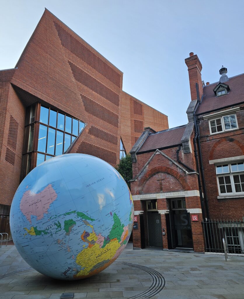
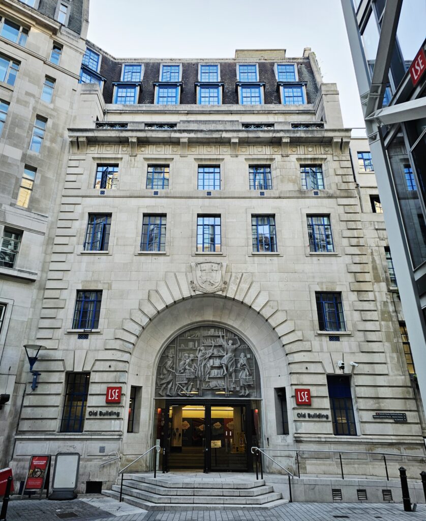
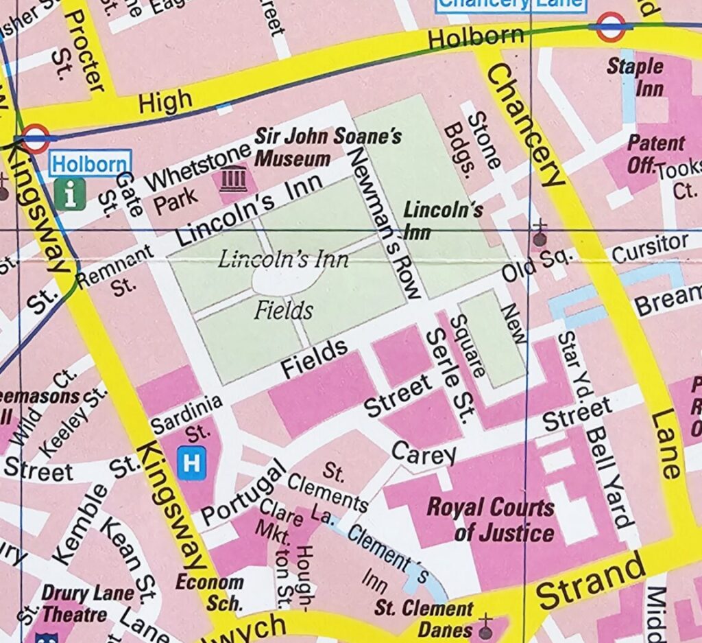
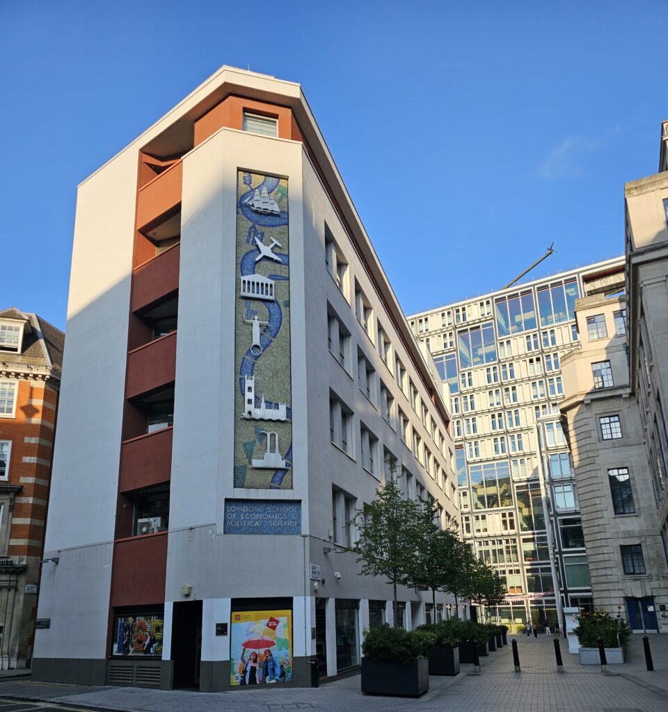
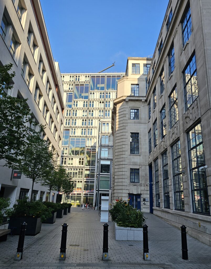
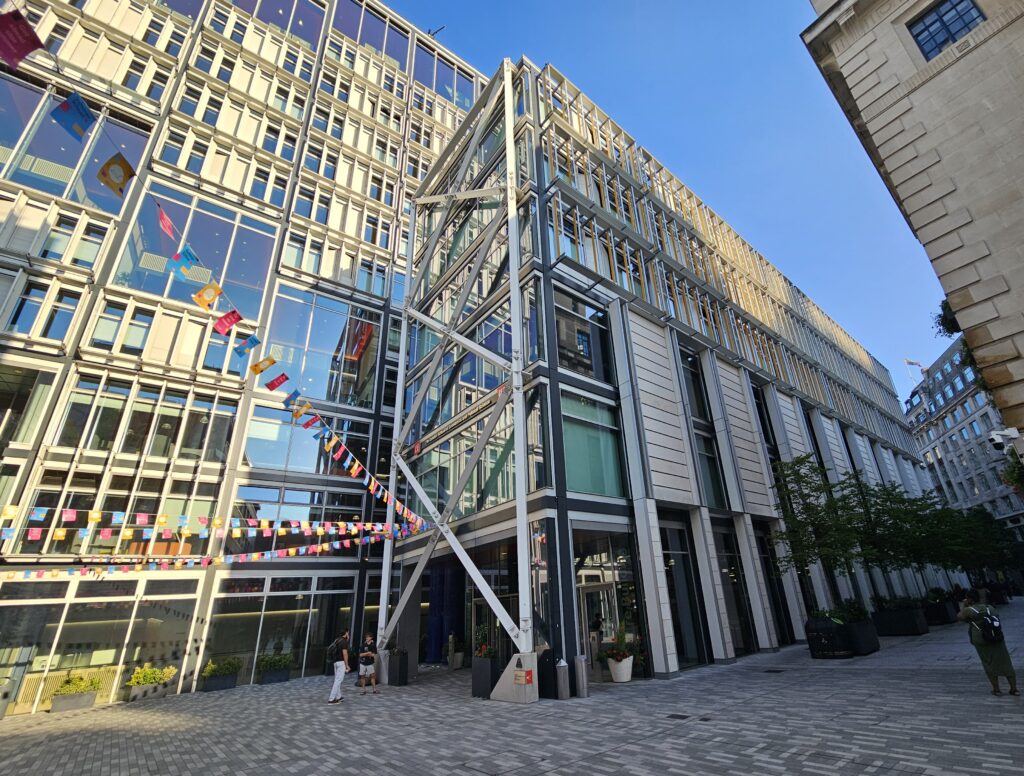
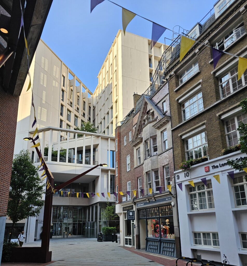
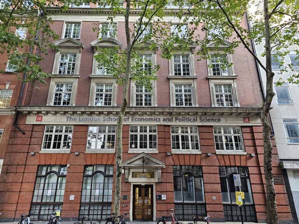
I read Law at the London School of Economics, and took a walk around my old campus. The whole area has evolved, there are grand new buildings and the narrow streets still teem with international students. In 1985 when I started at the LSE, the percentage of overseas students was around 40%. Today, the figure is around 64%. If you are a student from any country in the world, you should feel at home here.

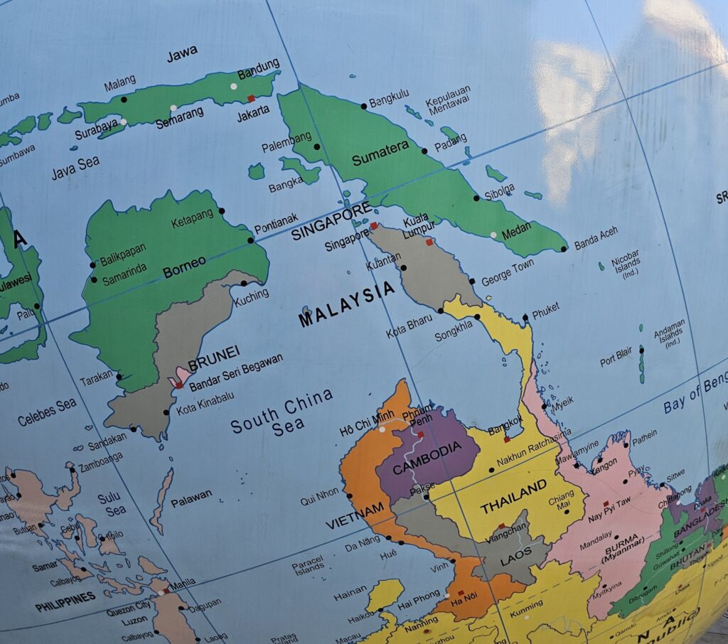
The World Turned Upside Down by Mark Wallinger
The historical main entrance to the LSE in the Old Building on Houghton Street, just north of the Strand
Other LSE buildings which lie roughly in the are enclosed by High Holborn, Chancery Lane, Strand and Kingsway
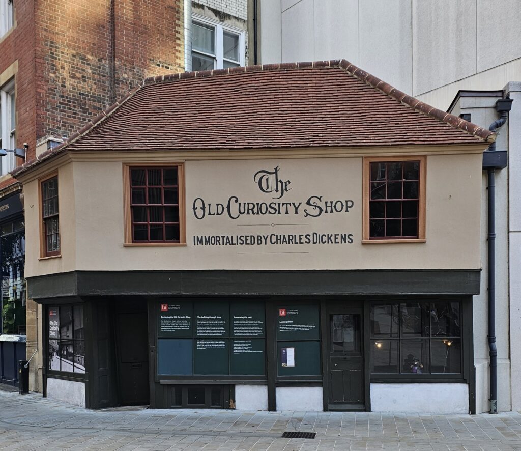
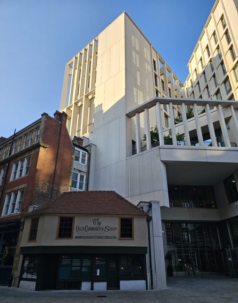
The Old Curiosity Shop, now hemmed in by big buildings
OTHER PLACES I VISITED
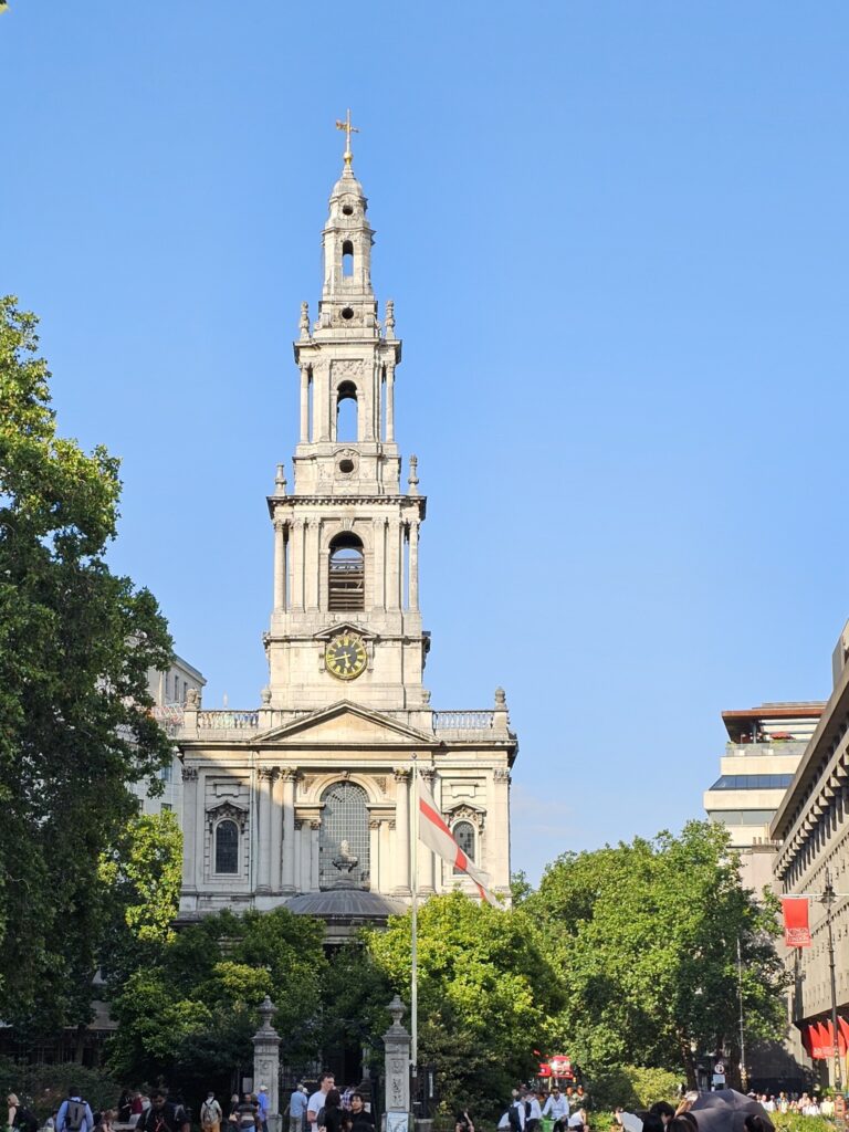
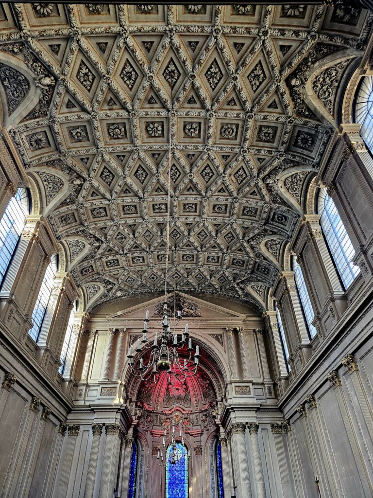
Even without heading north to Covent Garden or south to the riverside, you could find many things to do in the Strand. I had dinner at Simpson’s-in-the-Strand: at the Grand Divan with Accountant Friend (also an LSE alumna) and at Romano’s with Melbourne Auntie/ San Francisco Cousin. Mr Gochugaru and I attended an informal opera evening at St Mary-le-Strand.
St Mary-le-Strand
SOMETHING FOR ANOTHER DAY
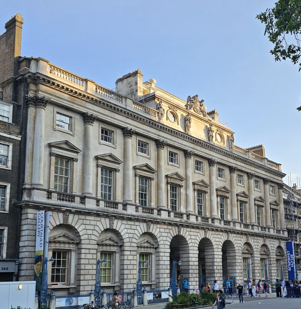
St Clement Danes is located right on the Strand and is the Royal Air Force family church. The Royal Courts of Justice has tours. I have been meaning to visit Toklas restaurant and bakery in Surrey Street. The Courtauld Institute of Art and the Courtauld Gallery is located inside Somerset House. On the opposite end to this cluster of little treasures, on Craven Street near Charing Cross Station, is Benjamin Franklin House. This will make for another fine walk along the Strand.
Somerset House
MAPS AND BOOKS
London city map 1:10,000 by Freytag & Berndt, ISBN 978-3707924268
No Free Parking: The Curious History of London’s Monopoly Streets by Nicholas Boys Smith, published by John Blake Publishing, ISBN 978-1789465389. See chapter 2 (Strand)
Do Not Pass Go: From the Old Kent Road to Mayfair by Tim Moore, published by Vintage, ISBN 978-0099433866. See chapter 12 (The Reds).